Digitally Documenting Lighting Poles—From On-Site Work to the Final Report
Background and Project Scope
Tahir Rost- und Korrosionsschutz e.K., based in Herford, is a master electrician’s shop and a specialized contractor for street lighting and corrosion protection. The company covers all key areas of street lighting—from maintenance and repair to LED retrofits, as well as the refurbishment, coating, and corrosion protection of lighting poles.
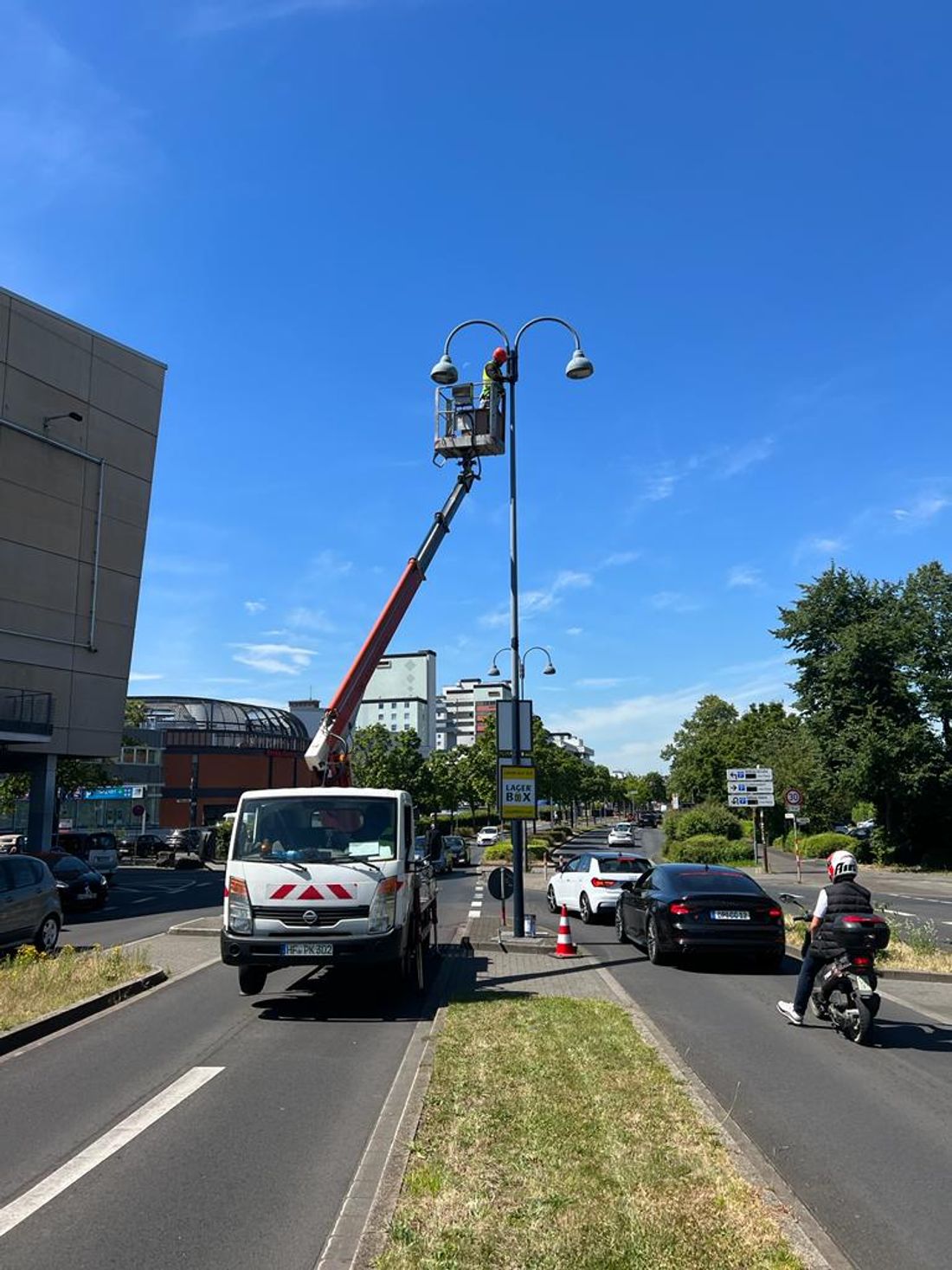
As part of the contract with Regionetz GmbH, the primary focus is on the corrosion protection of street lighting poles. Tahir Rust and Corrosion Protection has extensive experience in this field and treats several thousand streetlight poles annually. The work for Regionetz specifically includes the preparation and cleaning of pole surfaces, professional corrosion protection treatment and coating, as well as complete documentation of the work performed and any special findings. The company’s managing director is Dr. Tahir. Operational responsibility, as well as the coordination and management of this contract, lie with Mr. Rafal Artur.
The project involved a large number of light poles in the service area of Regionetz GmbH. The work was carried out by several employees and crews and organized on a street-by-street basis. The project spanned a lengthy period and was divided into clearly defined phases of execution. The key factor was not simply the number of units, but rather that each individual location was clearly assigned, professionally handled, and subsequently documented in a traceable manner.
Initial Situation: Documentation Prior to the App's Launch
Before implementing luxData.mobileApp, documentation was primarily handled using Excel spreadsheets, order lists, photos, and, in some cases, additional handwritten notes. Employees had to retroactively assign the completed work to the respective locations. While this approach generally worked, it was significantly more time-consuming and prone to errors when dealing with large volumes.
The biggest challenge in day-to-day operations was ensuring clear assignment: When multiple employees worked on many poles each day, it had to be possible to trace without a doubt which poles had been worked on and which had not. Photos, Excel spreadsheets, and feedback sometimes had to be consolidated retroactively, resulting in additional inquiries and administrative work. Furthermore, specific on-site conditions could not always be immediately and systematically assigned to the respective structure.
As a grid operator, Regionetz GmbH had correspondingly high requirements for documentation: It had to be clear which pole was worked on and when, and whether there were any special circumstances or obstacles. Especially when dealing with large volumes, documentation using various Excel spreadsheets, photos, and individual reports reached its limits. The information had to be clearly tied to specific objects and recorded on-site as promptly as possible.
Introduction and Use of the luxData.mobileApp
A key factor in choosing luxData.mobileApp was the ability to integrate existing location and asset data directly into the workflow. Employees needed to be able to identify on-site which utility pole required work and document the work performed directly on the corresponding asset. “Our main expectations were: fewer media breaks, better traceability, and easier communication between our employees, our project management, and Regionetz GmbH,” explains Dr. Tahir, Managing Director of Tahir Rost- & Korrosionsschutz.
The app’s rollout within the company went smoothly overall. As with any new digital process, a brief adjustment period was initially necessary, but employees quickly recognized the practical benefits the app offered. After a brief training session, the key functions were already being used in daily operations. It was particularly important to the company to establish a standardized workflow for all crews.
On-Site Processing Procedure
As the project progressed, employees were assigned their designated work areas or locations and worked through them street by street whenever possible. Once on site, they selected the corresponding pole in the app. After completing the work, the status was documented directly at the site, and the required photographic documentation was saved. If there were any special circumstances—or if a pole could not be serviced due to vegetation, parked vehicles, or a construction site, for example—this was recorded immediately and, whenever possible, supplemented with a photo. This provided clear evidence of why the service could not be performed at that location, and the location could be specifically scheduled for follow-up work at a later date.
GPS and location information made it easier for employees—especially on unfamiliar streets or when dealing with hard-to-find poles—to orient themselves and determine which objects actually belonged to the job. This reduced search times and prevented the accidental servicing of the wrong poles or the overlooking of individual locations. Since the location and object data were available before work began, the company was also able to assess in advance how the work could be sensibly divided geographically and which crew would handle which area. This allowed for better planning of personnel, vehicles, materials, and daily output, and unnecessary travel was avoided.
Documented Information and the Role of Photographic Documentation
Working directly at the pole, employees documented, in particular, the work status, the services performed, photos, and any relevant details or obstacles at the site. The advantage of this site-specific recording was that this information was directly assigned to the respective pole. This eliminated the need to reconstruct, after the fact, which site a particular photo or piece of information belonged to.
The photographic documentation was of central importance for quality assurance and record-keeping. If the question later arose as to whether a specific pole had been treated or what condition the site was in, this could be verified directly at the site. The same applied to poles that could not be treated, for example, due to heavy vegetation or another obstacle. “A photo quickly provides clarity here and avoids unnecessary discussions,” adds Dr. Tahir.
Special features or defects could also be documented directly at the respective location, rather than getting lost in a general list or in individual messages. This enabled a targeted evaluation and, if necessary, a structured report to the client.
Effects on Efficiency, Quality, and Collaboration
In particular, the app significantly simplified the assignment of locations, completion reports, photo documentation, and the recording of special details. Whereas previously various pieces of information had to be compiled retrospectively, a large portion of the documentation was now created directly during the actual work. As a result, the documentation became more structured and site-specific. This represented a significant improvement in quality and allowed for better oversight of which sites had been completed, where information was missing, and which poles still needed to be revisited.
Administrative overhead and the time spent searching for information were also reduced. Dr. Tahir did not want to commit to a specific percentage savings without reliable measurements; in practice, however, the benefit was clear: When questions arose, it was possible to determine much more quickly what had happened at a specific location, rather than having to call employees or search through various lists and photos. “The biggest advantage is that documentation is no longer created after the work is done, but rather directly at the mast—clearly assigned to the location, traceable, and backed up with the necessary information and photos,” explains Dr. Tahir.
The Network Operator’s Perspective: Regionetz GmbH
From the perspective of Regionetz GmbH as the client and network operator, the project also demonstrated significant benefits of digital documentation. The key advantage lay in paperless processing: Printed Excel spreadsheets were rarely updated in practice, and simply checking off an entire street was insufficient anyway, since new photos had to be taken—particularly when repainting or replacing streetlights. As a result, discrepancies in the database were quickly identified.
The scope of the rollout was remarkable: All contracted service providers, as well as Regionetz GmbH’s own staff, used the luxData.mobileApp in the project.
Collaboration between Regionetz GmbH, Tahir Rost- & Korrosionsschutz, and sixData also benefited from the digital documentation. On-site work inspections could be reduced to a minimum, as the work was documented both as a completed task and with a photo. This allowed for quick verification on the computer.
For a utility operator, comprehensive, photo-based documentation has another key benefit beyond simply saving time: it makes deviations and quality defects immediately visible. “That’s sometimes the most important thing, aside from the cost savings. Some people even document that they didn’t do the work properly. That stands out immediately and makes it easier to verify,” explains Mr. Klöfkorn of Regionetz GmbH.
This transparency not only facilitates ongoing quality assurance but also simplifies the acceptance of services and the planning of further measures in the service area.
Context: Potential Applications of the luxData Platform
The project between Tahir Rost- & Korrosionsschutz and Regionetz GmbH exemplifies a principle that goes beyond traditional pole-painting documentation. The luxData.mobileApp is part of sixData’s luxData platform, which originally evolved from street lighting software and is now used as an asset management platform for a wide range of asset categories in public spaces. These include, among others, traffic signal systems, charging stations, playgrounds, fire hydrants, and other infrastructure elements.
Wherever assets in public spaces need to be managed, maintained, and documented, the principle proven in the Regionetz project can be applied: unique asset identification, location information gathered directly on-site, immediate status updates, and comprehensive photo documentation.
For companies and network operators whose maintenance and documentation processes have thus far been organized using paper lists or isolated Excel spreadsheets, this project demonstrates a tried-and-true approach: moving away from the retroactive gathering of information toward documentation that is created directly at the object, right where the work actually takes place.